
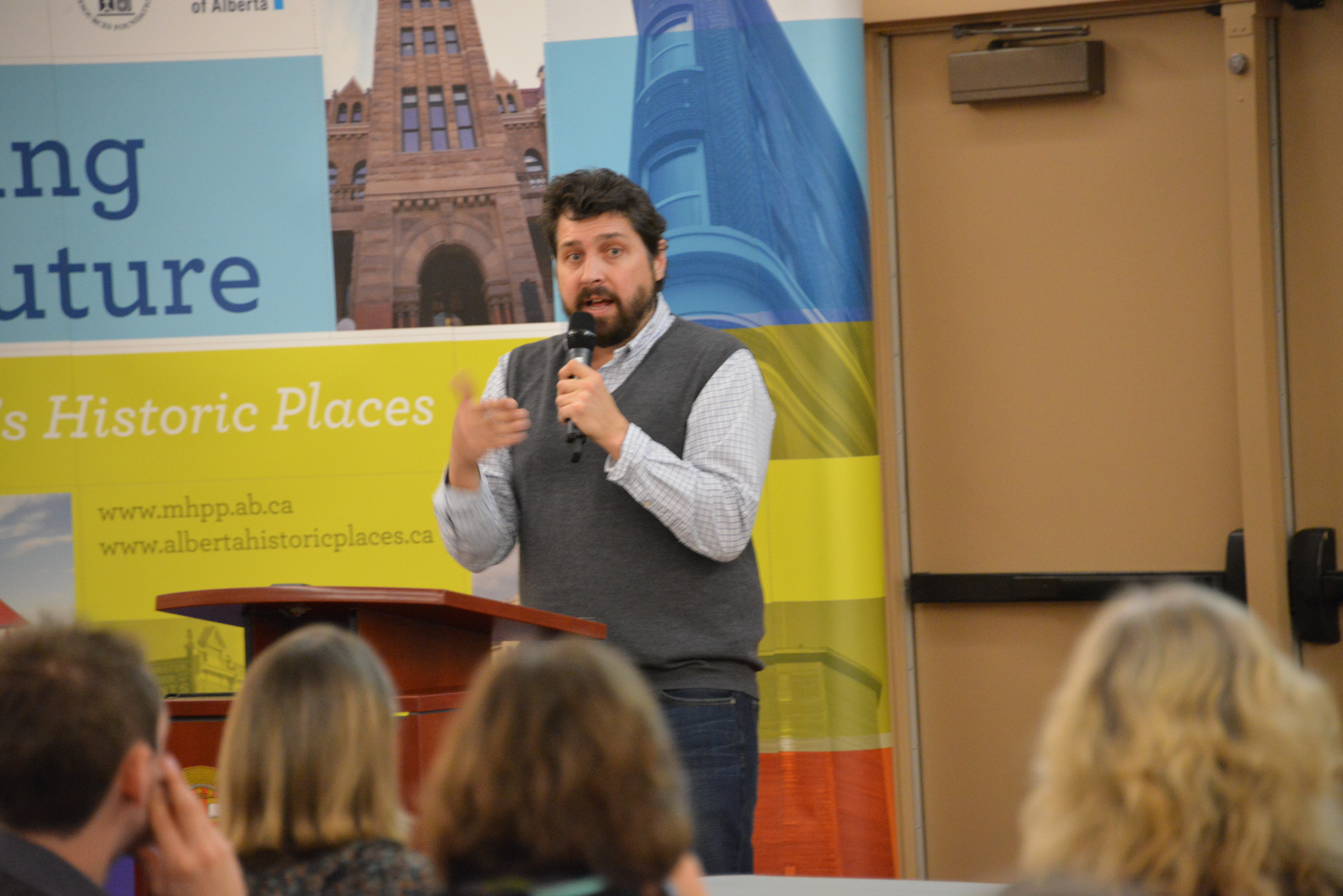
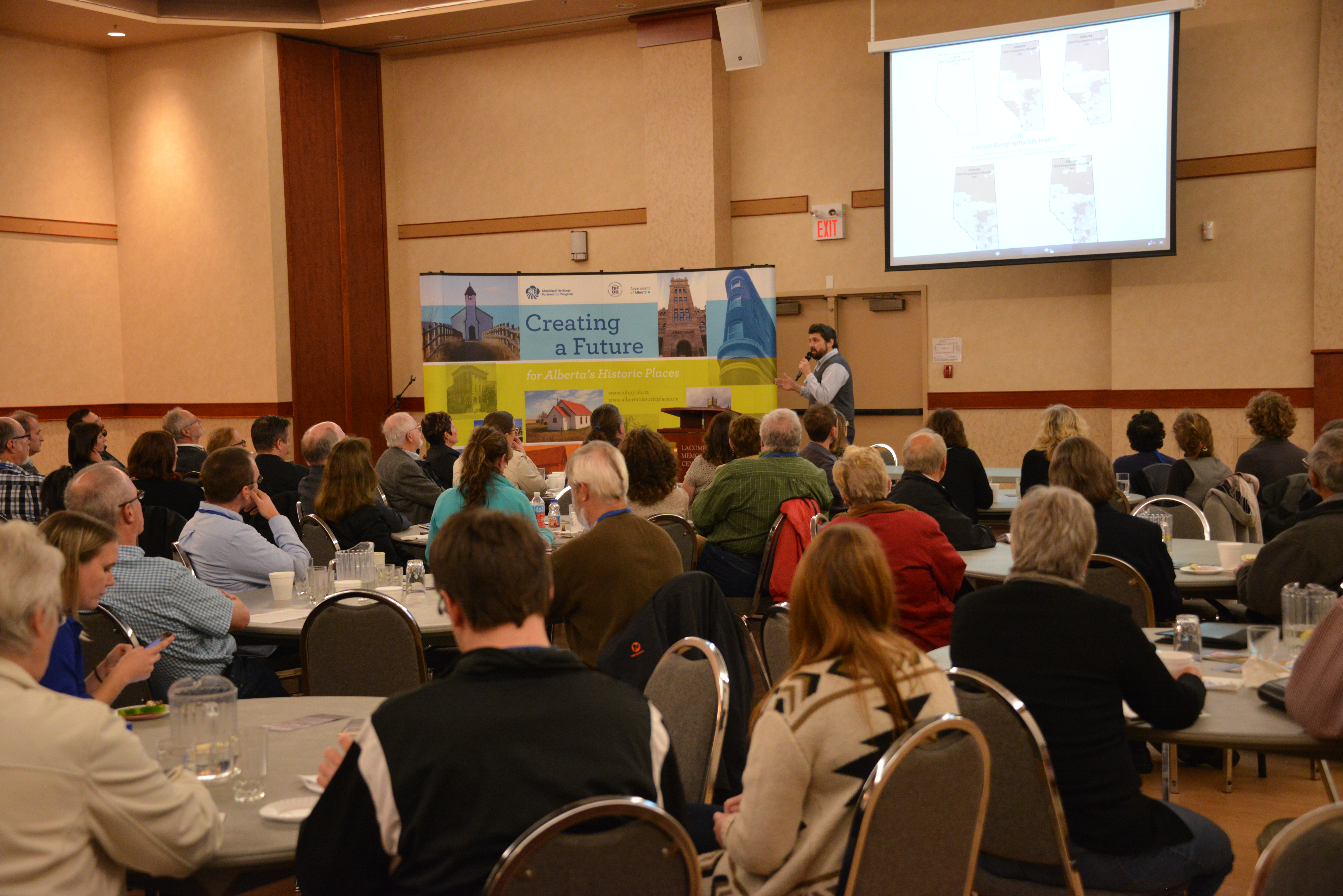
It’s not an overstatement to say that the final keynote presentation at the 2014 Municipal Heritage Forum in Lacombe blew everybody away. Larry Laliberté, GIS Librarian at the University of Alberta, opened Forum attendees’ horizons with an intriguing presentation entitled, “Historical GIS: Connecting Collections.”
In his presentation, Larry described how history’s main mode of communication is narrative, while Geography’s distinctive form of expression is visual. If we begin to connect these two methodologies, as can now be done through Geographic Information Systems (GIS) technology, it opens the doors to new perspectives and insights. This is what Laliberté described as a type of “visual narrative, a spatial story, a landscape liturgy.”
This shift in thinking from text to visual has been described as a kind of “spatial turn” in the way people conceptualize the world around them, past, present and future. In 2012, the Editorial Journal of Map and Library Geographies (8:177-180), put it this way. It is “a change in thinking from finding and retrieving information from text-based means to doing so visually, from geography or location-based methods.”
One only has to be aware of such popular social media as Foursquare to see how popular and ubiquitous this so-called “spatial turn” has become. GIS technology can give us practical and insightful ways to consider and deepen our knowledge of the historic places all around us. Compelling blogs such as #LostYEG: Lost Edmonton explores how the street scape has evolved over time.
The GIS tools now widely available create an opportunity for “Spatial History.” This is an approach to studying or exploring the historic past that “combines and uses a multitude of sources that can be situation in space as well as time.”
Laliberté used one of his recent projects – which involved historic maps – as a case study to open up the topic for our Forum attendees. He and his team have analyzed 1913-1914 fire insurance plans from the City of Edmonton. These maps were scanned and then geo-referenced with contemporary maps, yielding detailed map layers that could be studied. Additional information gleaned from the 1911 Census allowed researchers to understand in detail the density of the built environment along Jasper Avenue, along with a high degree of demographic detail about the people who lived there at that time. When you mix in archival materials such as historic postcards and other sources, which can be tagged for location, a rich environment of information is created. It was almost something like creating a “Google Streetview,” type of experience for the early 20th century.
As Larry mentioned, this new field of Historical GIS is not an end in itself, but rather a research tool, an approach by which we can access or look at history and historic places. It does not provide the answers to the historical questions we may have, but it certainly does expand the toolkit by which we can begin to construct or unearth those answers.
Be sure to check out Larry’s presentation online.
Written by: Matthew Francis, Manager, Municipal Heritage Services.
