Thank you to guest writer Britta Jensen of the Department of Earth and Atmospheric Science, University of Alberta, for this interesting post about the impact volcanoes have had on our province.
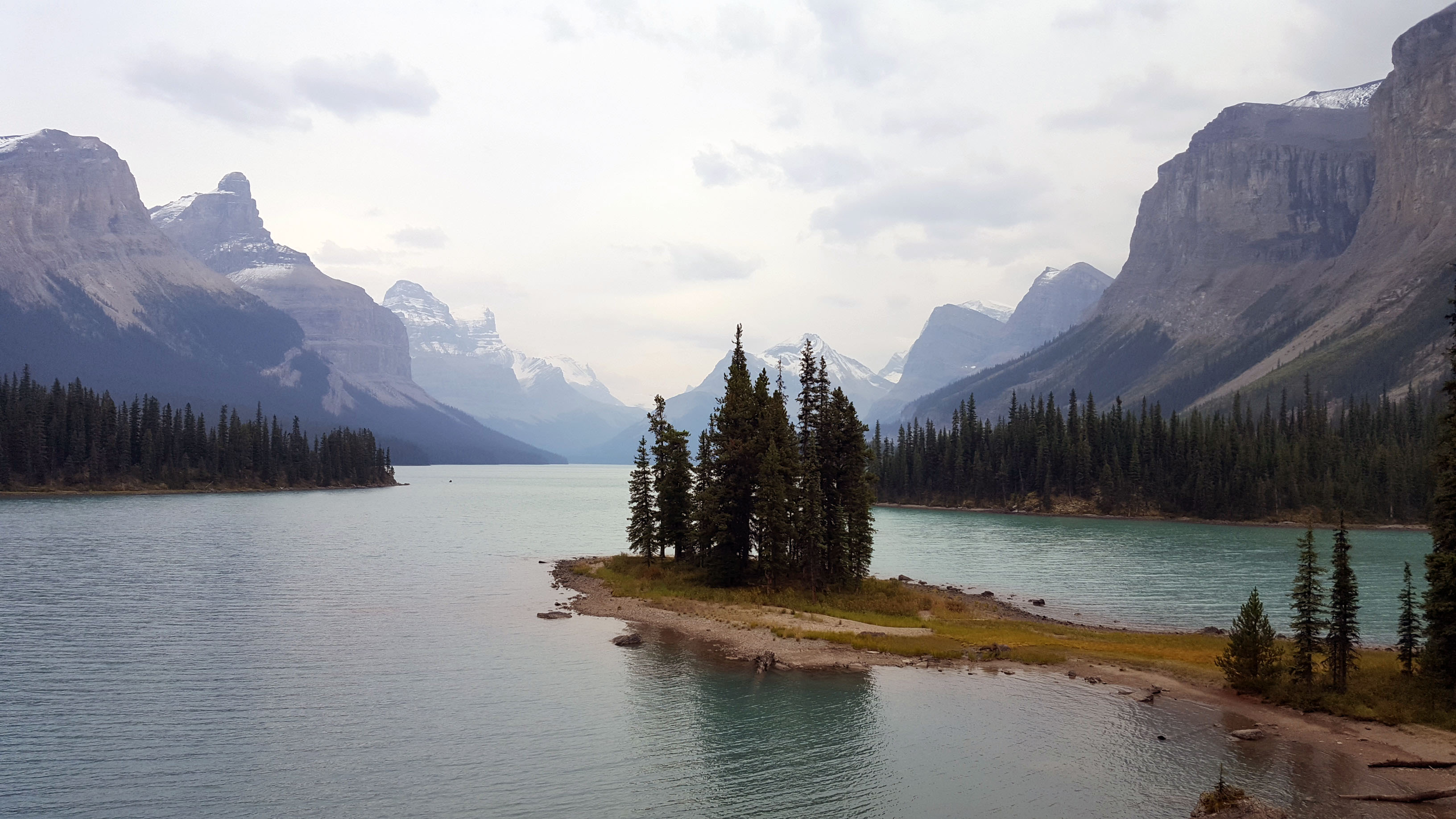
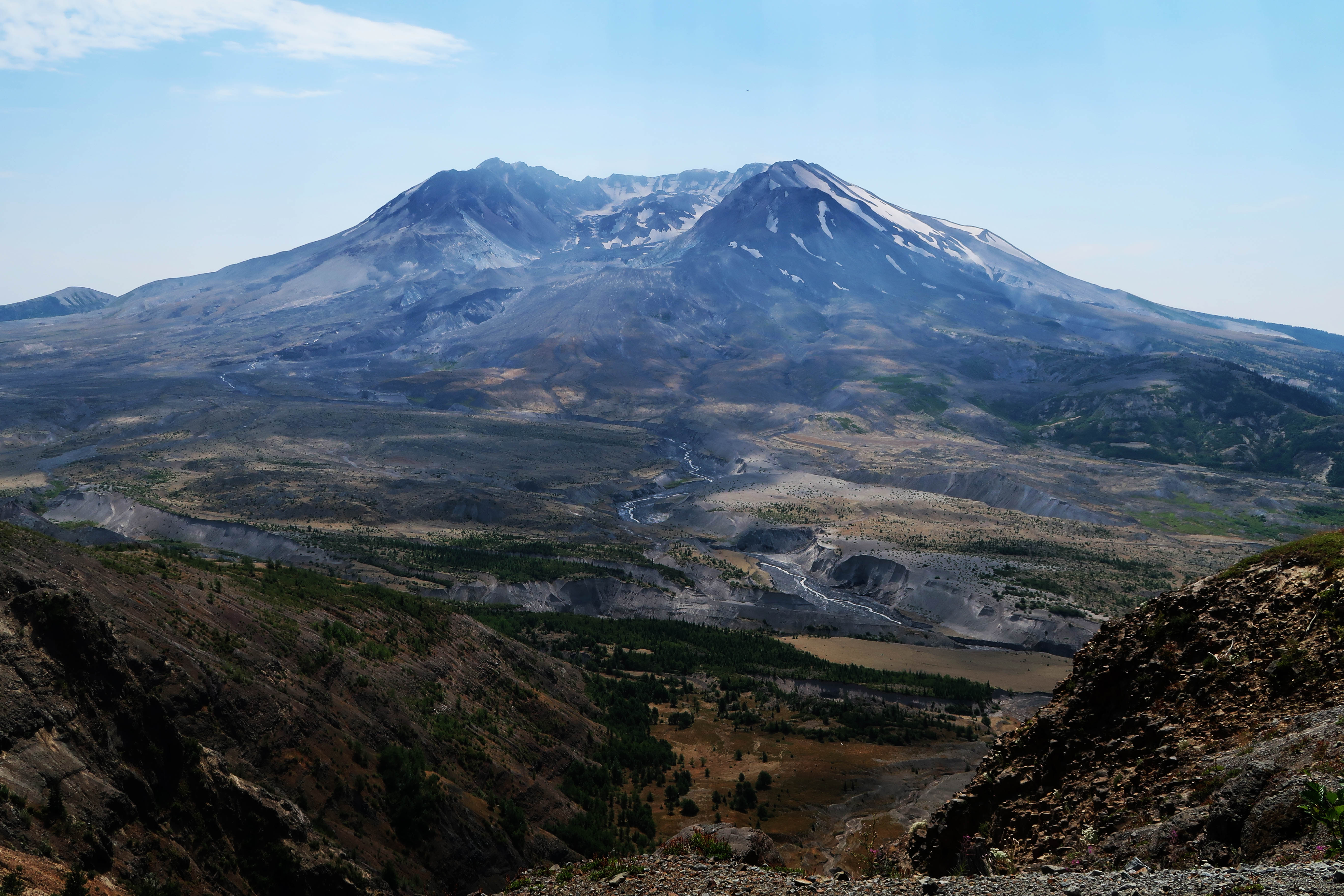
It is safe to say that when people think of Alberta they rarely think of volcanoes. Prairies, check; mountains, check; boreal forest, check; volcanoes, ummm, no? This is a fair reaction because Alberta can’t currently claim a single volcano. However, take a look at a map and you can see that we aren’t actually that far, relatively speaking, from the impressive volcanic peaks that dot the west coast – Mount St. Helens, Rainier, Baker, Meager, to name a few. Far enough to avoid the damaging effects of an eruption? Perhaps not. On May 18th 1980, Albertans learned that we are close enough to have our province impacted by major volcanic eruptions. The eruption of Mount St. Helens, which killed 57 people locally, spread ash far and wide. Enough ash accumulated in southern Alberta to cause problems, with reduced visibility, vehicles, and people with respiratory illnesses. A light dusting of ash was even reported as far north as Edmonton. No visible layer of that eruption remains on the landscape of Alberta. But what about the past?
When we look under the ground, at pits dug during construction, road cuts, river banks and other exposures of the ground we walk upon, we can see a history of large eruptions blanketing parts of our province in volcanic ash. This record of Read more