Editor’s note: The banner image above is of Áísínai’pi/Writing-on-Stone. Source: Laura Golebiowski.
Blair First Rider is a Kainai (Blood Tribe) Elder and Horn Society grandparent, and an Indigenous Consultation Adviser with the Historic Resources Management Branch. Thank you Blair for sharing your grandfather’s stories. Suukapi!
Written by: Blair First Rider and Laura Golebiowski, Indigenous Consultation Advisers
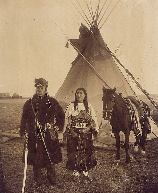
In a previous RETROactive blog post, we discussed the seasonal round: the Niitsitapi (“the real people,” how the Blackfoot refer to themselves) concept that structures the year and our relationship to the land and one another. In this post, we learn some of the ways the Niitsitapi spent time during the hot summer months at the turn of the century.
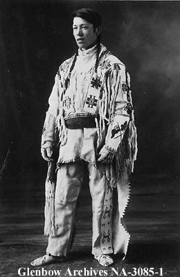
This knowledge was shared by George First Rider, Blair’s paternal grandfather. George was born in 1904 on the Kainaiwa (Blood Tribe) reserve. His father was Dog Child and his mother was The Only Handsome Woman, also known as Catching Another Horse.
George First Rider was a kipita-poka: a grandparent’s child. Deeply loved and cared for by his family, he was afforded a lifestyle of traditional knowledges and practices. He was also a member of the Horn Society and other age-grade Societies (the complex social and ceremonial system that Niitsitapi men participate in from the age of seven or eight to adulthood. Niitsitapi women participate in the Motokis Society). Through ceremonial transfers, George learned many songs and earned the ability to conduct many ceremonies.