Pebble Chert Quarries in East Central Alberta

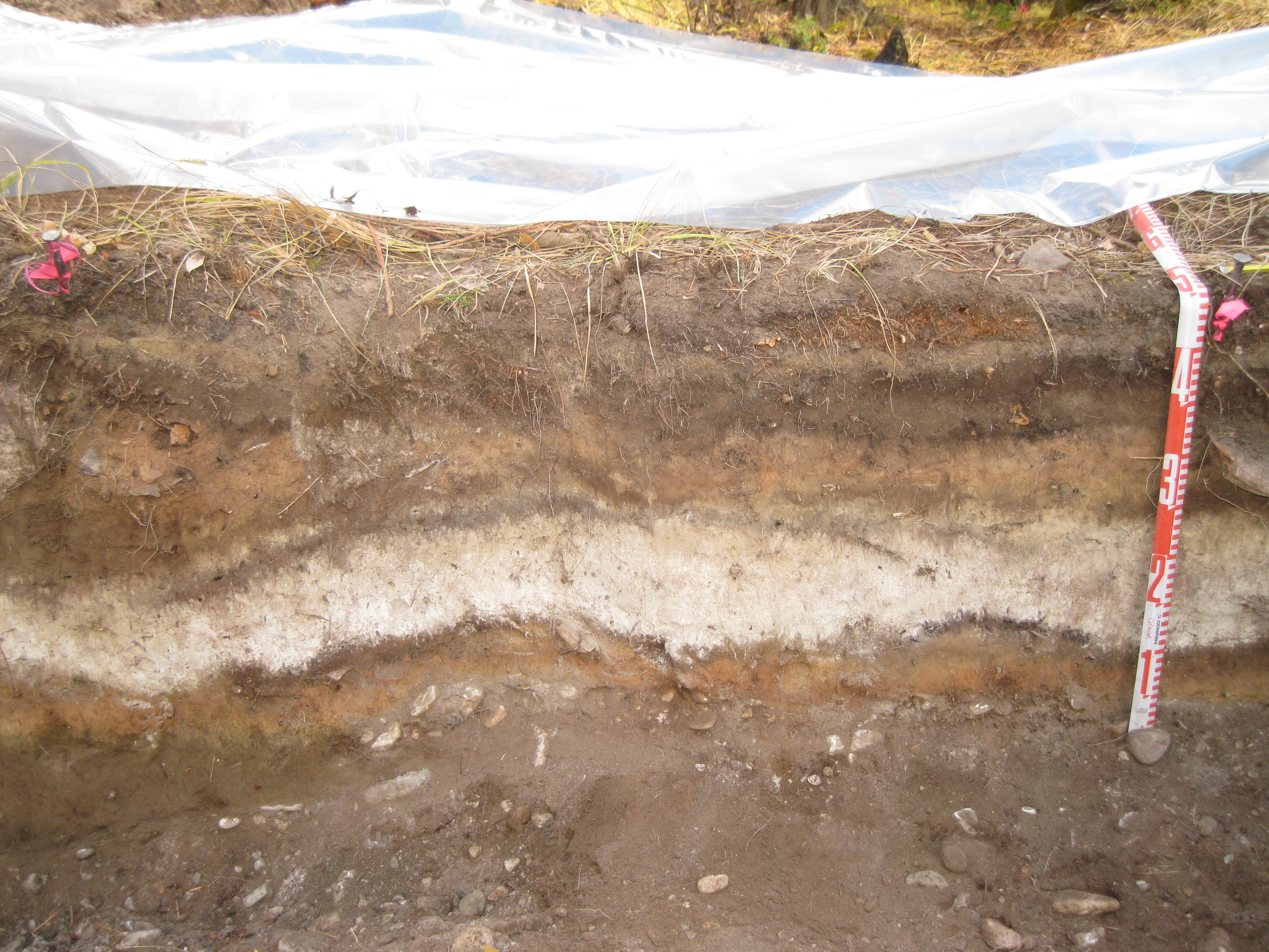
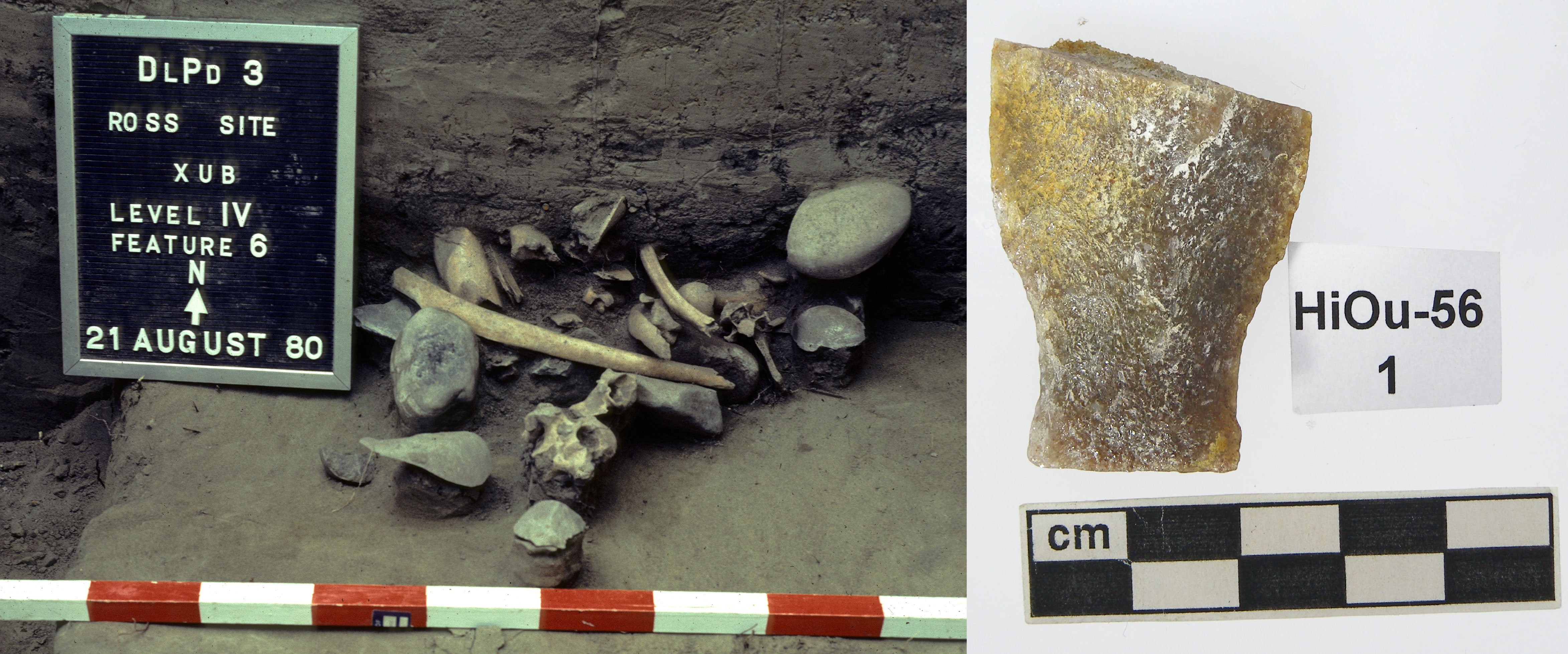
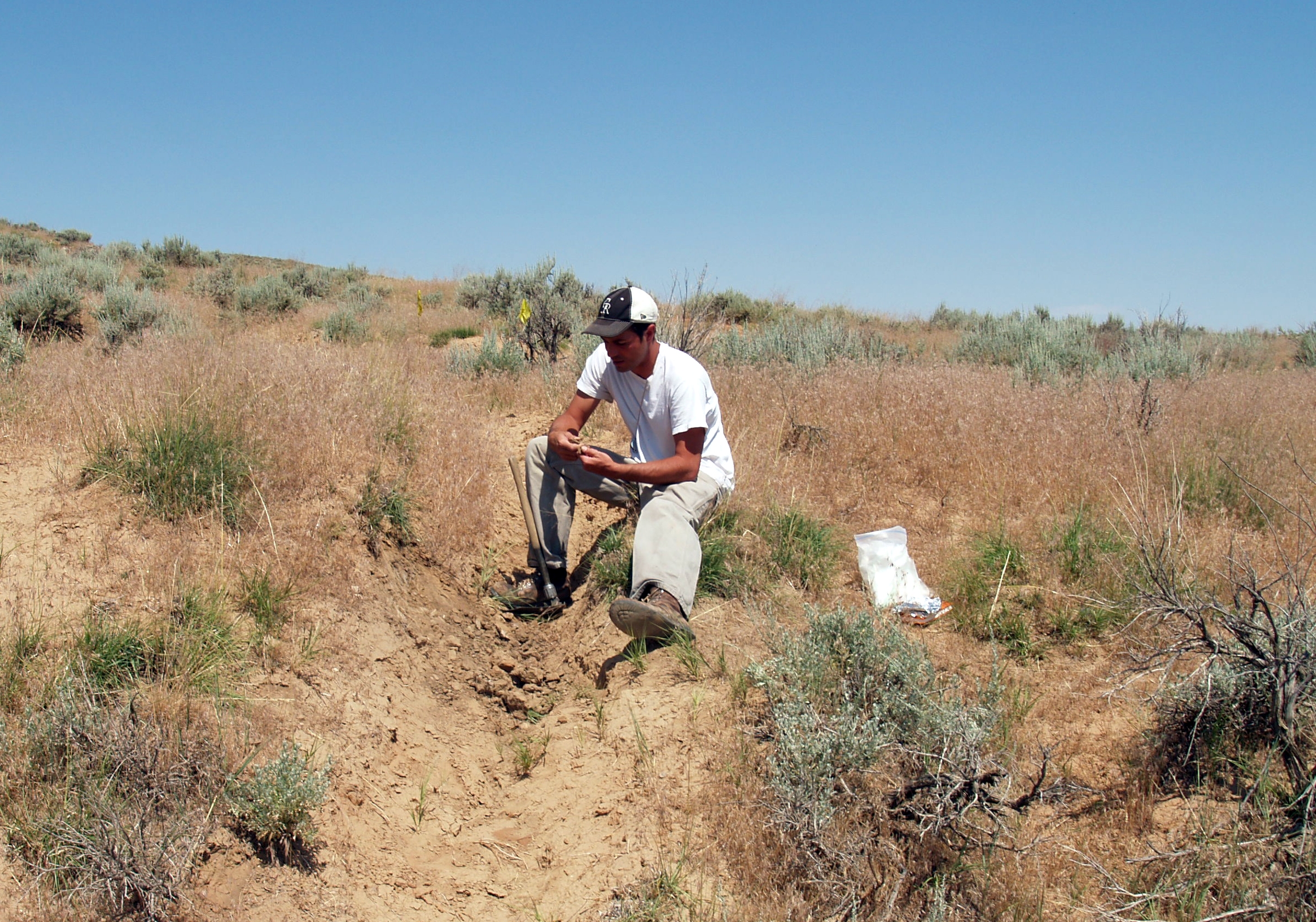
Stone tools and debitage, also known as lithics, are one of the most common types of artifacts found in Alberta. In the past, stone tools were an essential part of Indigenous ways of life. These stone tools and associated debitage (pieces flaked off while the stone tool was being manufactured) are made from a variety of stone types, but generally they need to be produced from quality raw materials. The characteristics of a quality raw material for making stone tools include stones that are finer-grained, somewhat brittle and uniform in texture and structure, and have few or no inclusions because these might make the rock break in unpredictable ways. Some of the highest quality material that was used in Alberta in the past comes from other places around North America, such as Knife River Flint from North Dakota, obsidian from British Columbia and the northwestern United States, and other types of cherts, argillites and other materials from neighboring provinces and states. However, several material types are available locally. Some of the most common types available in Alberta include quartzites, siltstones, cherts and petrified wood. In East Central Alberta, a common type of rock utilized by Indigenous groups in the past was pebble chert. There are areas where this stone is readily available and it can be high enough quality to be knapped into tools. While these pebble cherts can sometimes be found today in road cuts or blowouts all across East Central Alberta, there are two pre-contact quarries and associated archaeological sites near Consort, AB where large concentrations of these materials were found, collected and utilized. At these sites, there is evidence that Indigenous groups used rounded and fist-sized pebbles of chert to make stone tools.

The Misty Hills quarry site and complex (Borden block EkOp) is unique because it has large densities of both high quality chert and quartzite pebbles found in more than 130 blowouts across the site. In addition to the raw pebbles, there are many associated quarry Read more

Pronghorn Traps on the Northern Plains of Alberta

“The antelope possesses an unconquerable inquisitiveness, of which hunters often take advantage…The hunter, getting as near the animal as is practicable, conceals himself by lying down, then fixing a handkerchief or cap upon the end of his ramrod, continues to wave it, remaining concealed. The animal, after a long contest between curiosity and fear, at length approaches near enough to become a sacrifice to the former.” (James 1905, vol. 2, pp. 227)

On two different flights over southeastern Alberta, separated by about thirty years, unusual stone features were observed on the landscape. Upon further inspection by archaeologists, it was determined that these two sites are the remnants of drive lanes and traps that were used for the communal hunting of pronghorn (Antilocapra americana, also commonly referred to as antelope).

While it is commonly known that bison were one of the greatest resources for precontact North American Indigenous groups, it is important to note that before European arrival, it is thought that there were just as many pronghorn as bison in North America. They were an important resource as well, particularly for people living in the Great Basin region of the United States, as pronghorn were one of the largest game animals available in that region. For Plains groups, bison were preferred for meat (and there is abundant archaeological evidence of this in the many bison kill sites across the Plains), however, pronghorn were valued for their hides to make clothing and other items.

Communal antelope hunting is documented in many historical accounts both in the Great Basin and on the Plains. These accounts describe wood and brush drive lines that led to fenced enclosures and to pit traps excavated in the ground. Hunters disguised themselves as antelope, wolf or other animals to get close to the herds and then drove the animals into Read more

Clovis Points and the Ice Free Corridor

Did you know that some of the earliest inhabitants of what is now Alberta were here over 12,000 years ago? Evidence of these people is found in the form of fluted projectile points, like the one shown in the image above. Fluted projectile points are lanceolate (no stem or notching) and have large flakes struck from the center of the base to form a flute or channel.

One style of fluted projectile point is attributed to a culture known as the Clovis people. Clovis spear points were first discovered in Clovis, New Mexico, but are found all across North America. These points were long thought to represent the earliest people in the Americas; however, more recent research has refuted this. Read more

Old as… ?: Dating Archaeological Sites

Knowing the date of an archaeological site is one of the things that makes it most interesting – when were people here?

Two main types of dating are applied to archaeological sites when possible– relative and absolute dating. Relative dating puts sites or artifacts “in order” by simply determining if one event happened before or after another. A common example of relative dating in Alberta is by using Mazama Ash. About 7600 years ago, Alberta was blanketed in ash after the Mazama volcanic eruption. This ash is still sometimes found today in stratigraphic profiles, buried under other deposits of sediment. When this ash is encountered it can be used as a time marker. Anything below it is older than 7600 years and anything found above it is younger than 7600 years.

Example of a buried volcanic ash (also known as tephra) found during archaeological excavation. The ash is the lightest coloured layer in the profile, between 25 and 35 cm below the surface (between the 1 and 3 on the tape measure).

Relative dates can also be obtained using artifact styles. Projectile points are one of the most common types of artifacts used to relatively date sites. Spearpoints represent the oldest projectile point technology and indicate that the site falls within the “Early Prehistoric Period” (11,200-7,500 calendar years before present), dartpoints are representative of the “Middle Prehistoric Period” (7,500-1,350 calendar years before present) and arrowpoints represent the emergence of the use of bow and arrow in the “Late Prehistoric Period” (1,350-250 calendar years before present). Dates can be further refined within each general time period based on the spear, dart or arrow style.

Absolute dating is more specific than relative dating and provides a more exact date (with standard deviation) of when the site or artifact was used. There are several methods of absolute dating but one of the most common methods used by archaeologists is radiocarbon dating. Radiocarbon dating can be used on organic material such as bone or charcoal. A radiocarbon date can be obtained by measuring the amount of Read more

Rocky Mountain Alpine Project: Jasper National Park 2016

A few weeks ago we featured ice patch archaeology in Willmore Wilderness Park as part of the Rocky Mountain Alpine Project. The trip to Willmore was one of two attempts this summer to find archaeological artifacts and other organics melting out of Alberta’s ice patches. The second attempt took place from August 22-26, this time in Jasper National Park and, as promised, here are the results! For a background on the Rocky Mountain Alpine Project, check out our video.

This year was our second visit to Jasper’s ice patches. The goal of last year’s trip to Jasper was to determine if there was potential for finding organics and archaeological artifacts in Alberta’s alpine ice features. The trip was very successful and we found that many organics, like antlers and wood, were preserved at high altitudes. We also found a cultural piece of leather, with two knots in it, melting out of one of the patches. It was radiocarbon dated to A.D. 1640. The exploratory trip proved to be successful and we were excited to return to Jasper this year, both to re-visit the ice patch that yielded the leather and to explore some new areas.

Ice patch in the Maligne Lake Area of Jasper National Park, archaeologists surveyed the patch in August 2016. (Photo Credit: Aaron Osicki)

Read more

Rocky Mountain Alpine Project: Willmore Wilderness Park

From August 8-12th, 2016, Todd Kristensen (Northern Archaeologist), Robin Woywitka (Cultural Land Use Analyst), Courtney Lakevold (Archaeological Information Coordinator) and graduate student Timothy Allan visited Willmore Wilderness Park as part of the Rocky Mountain Alpine Project (RMAP). RMAP is focused on the recovery of archaeological artifacts and other organic remains (e.g., feathers, bones, caribou antlers and dung) from melting ice patches. Amazing artifacts have been found melting out of ice patches in alpine areas in the Yukon, Northwest Territories, United States and Norway. These finds have been very important for understanding how people used alpine areas in the past.

Alberta has vast stretches of alpine environments, many of which are quite fragile. One element of those fragile alpine habitats are ice patches that are currently melting at a rapid pace. The goal of RMAP is to explore Alberta’s ice patches to see how people in the past used alpine environments and see how it compares to that of people in other parts of Canada and the world. Last summer, the first RMAP expedition took place in Jasper National Park where many organics were found, as well as a piece of leather that was radiocarbon dated to A.D. 1670. Read more

The Borden Number System: What the FcOq?

In a previous post we talked about how Alberta has almost 40,000 recorded archaeological sites. Each of these sites has its own record and associated artifacts so, you can imagine, it is a lot to keep track of. One of the most important tools we use to organize site data is a Borden number. You may have heard sites referred to by their Borden number before; for example Head-Smashed-In is also known as DkPj-1. The Borden number is actually more important than the site name as the Borden number is what is used to organize all site records and for cataloguing artifacts. In fact, the majority of sites in Alberta do not have a name at all, they are known solely by their Borden number.

Borden number DlPd-3 (Ross Site) is used as the unique identifier for this archaeological site (left). Borden numbers are also used to catalogue artifacts that are recovered from archaeological sites (right).
Borden number DlPd-3 (Ross Site) is used as the unique identifier for this archaeological site (left). Borden numbers are also used to catalogue artifacts as a way to identify what site they came from (right). (Photo Credits: Royal Alberta Museum)

Read more

Paleoindian Archaeology, Pleistocene Extinctions and Mongolian Use of Space: An Interview with Dr. Todd Surovell

The University of Alberta Association of Graduate Anthropology Students will be hosting the 24th Annual Richard Frucht Memorial Lecture Series from March 2-4, 2016. The distinguished speaker for this year’s conference is Dr. Todd Surovell of the University of Wyoming. I had a chance to interview Dr. Surovell about his research ahead of his upcoming visit to Alberta and he offered some fascinating insights into North American colonization, the extinction of North American megafauna, and his observations of household space use by Mongolian reindeer herders as a means to inform archaeological interpretations.

Dr. Todd Surovell at the Barnes Site, Hot Springs County, Wyoming (Photo: Todd Surovell)

How long have you been doing archaeology? What got you interested in it?

I have been doing archaeology for about 23 years. I got interested in archaeology somewhat by accident; I always thought I would be a biologist, zoologist, or ornithologist as I was an avid bird-watcher, but I registered for a course called Introduction to Anthropology at the University of Wisconsin and the teaching assistant was advertising an archaeology field school in western Wisconsin. I did the field school and fell in love with field archaeology. Read more

Yellowhead Townsite and Mine: Archaeology in Alberta’s Coal Branch

Alberta’s Coal Branch region, southwest of Edson, was once an area bustling with activity, not only due to coal production, but also with the day-to-day goings-on of communities. In its heyday, the Coal Branch supported a population of almost 3,000 people spread out among several towns including Cadomin, Mercoal, Mountain Park, Luscar, Lovettville, Coalspur, Robb, Coal Valley, and Beacon Hill. These communities, though small, had many amenities including stores, community halls, sports fields, schools, churches, and hospitals. Today, many of them have been completely abandoned or are only used for part of the year.

Part of the Yellowhead site, likely during the mid-to-late stages of mine development (Photo Credit: Provincial Archives of Alberta, Edmonton, PR1991.0312 A19987)
Part of the Yellowhead Townsite and Mine which was in operation from 1909-1919 (Photo Credit: Provincial Archives of Alberta, PR1991.0312 A19987)

Yellowhead Mine and its associated “stag camp”, and later townsite, was the first mining operation in production in the Coal Branch. Run by the Yellowhead Pass Coal and Coke Co., the mine began operations in 1909, before railroads or roads reached the area. Since the only way in and out of Yellowhead was by pack trail, the settlement was fairly isolated and difficult to get to. When mining first began, the coal could not be shipped out due to lack of rail access, so coal was stockpiled. The railroad Read more

Rocky Mountain Alpine Project Update

In an earlier post we showed a video of the fieldwork undertaken for the Rocky Mountain Alpine Project in August of 2015. This was a pilot project to determine the potential for finding organic archaeological artifacts in ice patches in the Jasper National Park area. One of our most exciting finds was a leather strip that had recently melted out from the edge of an ice patch. However, we also found and collected a significant number of other naturally occurring organic materials melting out from the ice. While most of these are not archaeological, they are valuable for understanding how this environment and the animals living in it have changed over time. The pilot project revealed that ice patches in Jasper and neighbouring Mount Robson Provincial Park have great potential for archaeological research but also for biological, environmental, and climate research. See below for some of our other finds and their potential to contribute to our knowledge of this landscape’s past.

Natural Organics

Caribou antlers were the most abundant organic materials found. Antlers can be used to reconstruct caribou populations in the past by recovering DNA from them and using genetics to track population growth and decline. It is important to understand how populations change naturally so that we can interpret what effect human activity might have on caribou. We may also be able to detect the impact of past ecological events (like volcanic eruptions) on caribou populations. Similarily, caribou dung present in the ice patches can also be used to track caribou populations and diet. Some researchers have also used finds like this to track the evolution of viruses.

A sample of some of the caribou and elk antlers found at the edge of the ice patches.
A sample of some of the caribou antlers found at the edge of the ice patches.
Caribou dung melting out of the ice.

Bone is another important archaeological and ecological find. Any bone that was encountered was examined for evidence of human modification such as breaking or fracturing of the bones from hunting and processing. Read more