Editor’s note: September 30 is National Day for Truth and Reconciliation and Orange Shirt Day. Reading residential school histories can be a painful process. If reading this is causing pain or bringing back distressing memories, please call the Indian Residential Schools Crisis Line at 1-866-925-4419. The Crisis Line is available 24 hours a day and can also provide information on other health supports provided by the Health Canada Indian Residential Schools Resolution Health Support Program.
An earlier version of this article appeared in the December/January 2024 issue of Nisichawayasi Achimowina.
Written by: Laura Golebiowski (Indigenous Consultation Adviser), in collaboration with Nisichawayasihk Cree Nation.
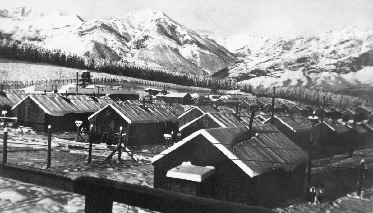
“Eight children, an equal number of boys and girls, were going with us to enter a Residential School… I applied, but without success, to the Principal of the Brandon Residential School, for the admittance of the Indian children. That they were “non-treaty” was the alleged objection. As, however, the Red Deer school was willing to receive them, we decided to take them there…In the course of two or three years, five of those apparently healthy children had died from Tuberculosis.”
– Samuel Gaudin, in Forty-Four Years with the Northern Crees
Nisichawayasihk Cree Nation are the Nisichawayasi Nehethowuk: the people whose ancestors lived near where the three rivers meet and who speak Nehetho, the language of the four winds. Their territory includes the rich lands of the Canadian Shield and boreal forest in what is now northern Manitoba. Their central community hub is located at Nelson House, a long-time place of Indigenous occupation where the Hudson’s Bay Company established a trading post in the late 1700s.