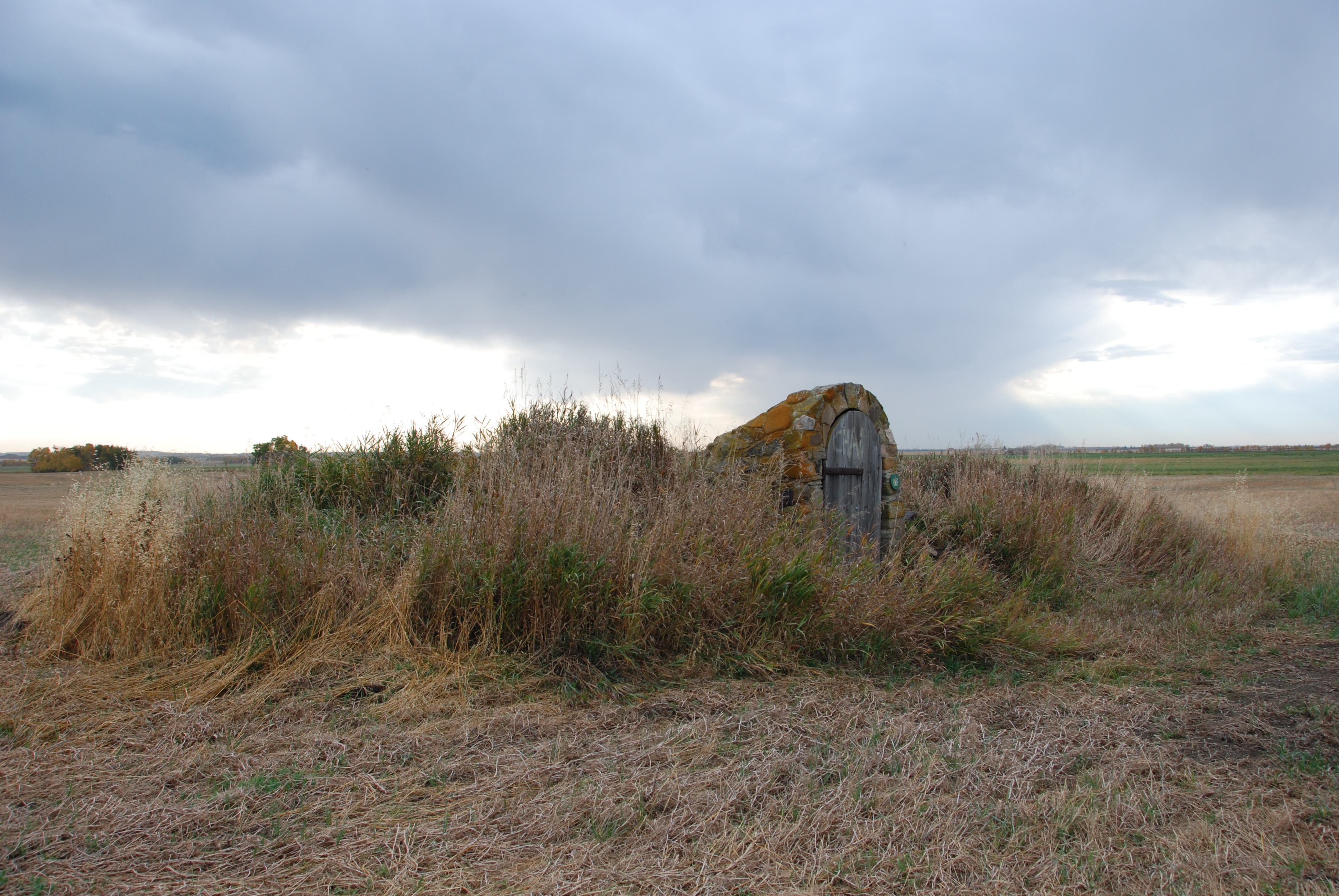
May 14, 2014 was the one-hundredth anniversary of the discovery of oil and gas at Turner Valley. In recognition of this milestone, we are offering a short series highlighting some of the place names associated with the oil and gas heritage of the Turner Valley area.
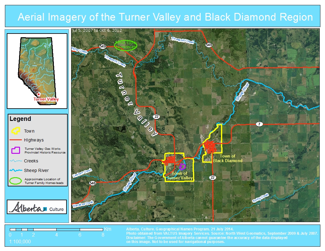 Turner Valley
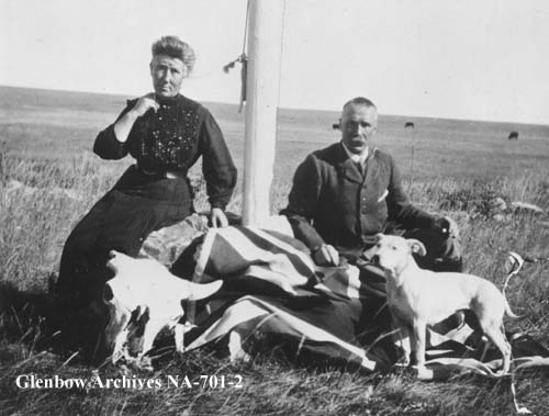
In 1886, two brothers from Scotland, Robert and James Turner, filed for homestead on neighbouring quarter sections (the S.E. and S.W. quarters of Section 10, Township 21, Range 3, West of the Fifth Meridian) at the northern end of a large valley near the north fork of “Sheep Creek.” (To add a heaping helping of confusion to this story, what was then called Sheep Creek is now the Sheep River and its north fork, or tributary, is now named Threepoint Creek. Isn’t naming fun!) The Turner brothers, soon joined by a cousin, John Turner, acquired more land for their ranch and became noted breeders of purebred Clydesdale horses.
Due to the early arrival and prominence of the Turner family, the valley containing their original homesteads soon became known as Turner Valley. At the time, responsibility for naming geographical features lay with the federal government and the name Turner Valley was adopted by the Geographic Board of Canada as the valley’s official name in December 1943, although it was being used on government maps since at least 1926.
On May 14, 1914, towards the other end of the valley, an oil well known as Dingman No. 1, owned by Calgary Petroleum Products struck gas. Although DIngman No. 1 was not the first productive well in Alberta—that distinction goes to a well in Waterton Lakes National Park (See Cameron Creek) it was our province’s the first significant discovery.
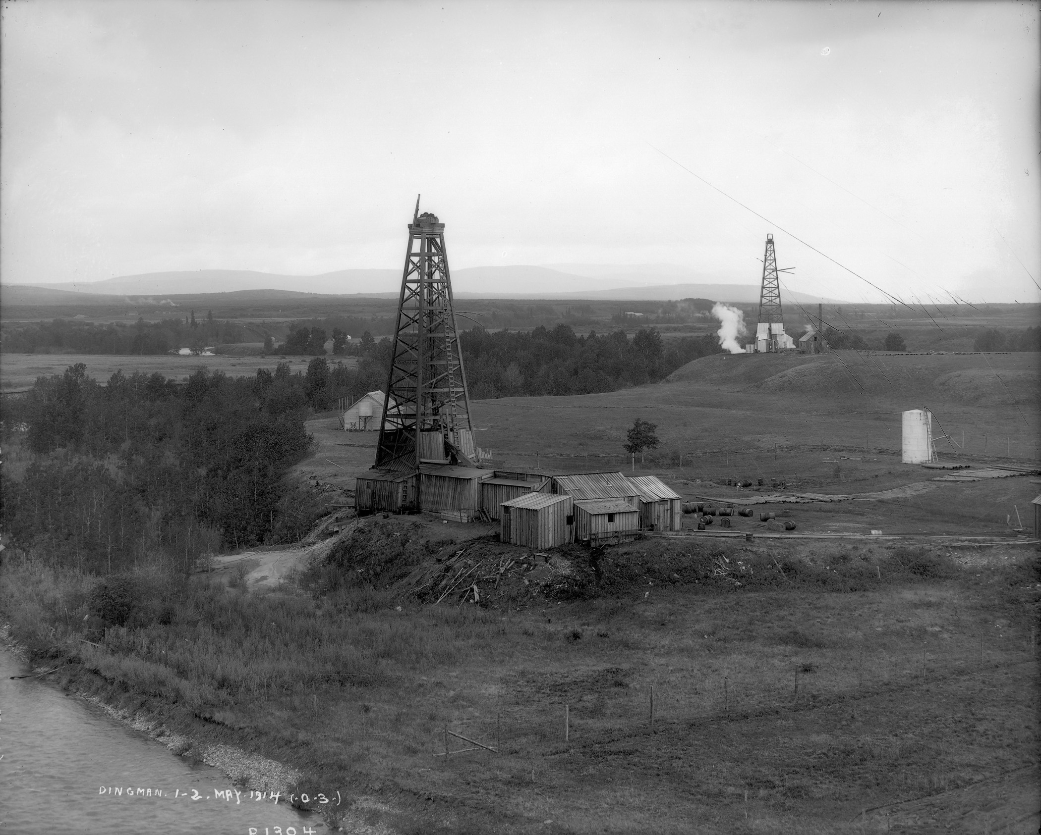
Over the ensuing decades the name Turner Valley became one of the best known locales in the province and the name became synonymous with Alberta’s oil and gas sector. A town site, also named Turner Valley was established. A post office opened here in 1926 and, in 1930, with a population of about 700 people, Turner Valley was incorporated as a village. It became a town in 1977.
Black Diamond
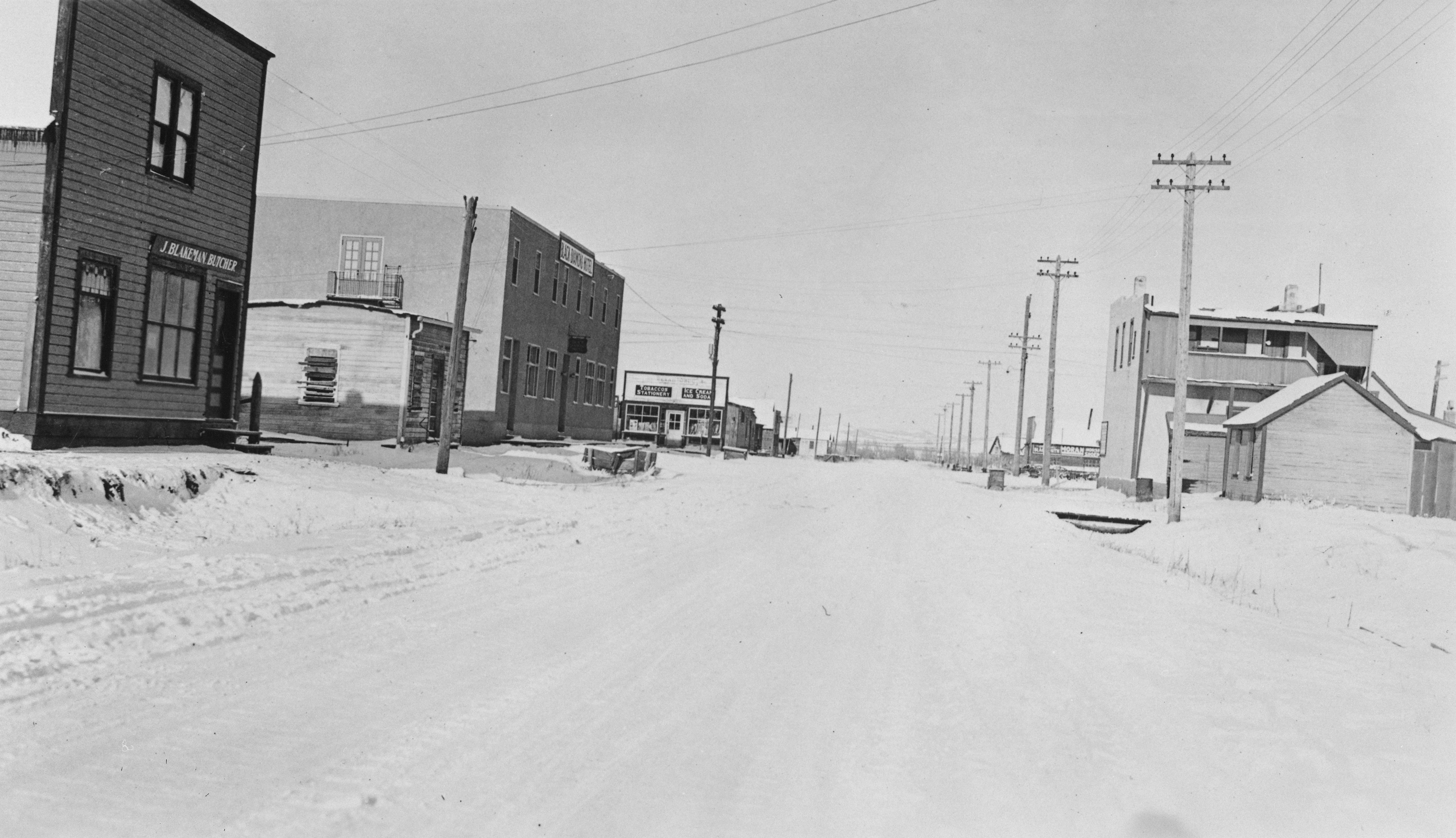
Just to the east of the Town of Turner Valley, is the Town of Black Diamond. The name is inspired by the coal deposits found in the area. A coal mine opened in 1899 and a small community serving the mine and the area’s ranchers and homesteaders began to develop.
According to local lore, in 1907, when it came time to choose a name for the newly established post office, two contenders arose: “Arnoldville” was championed by the Arnold brothers who owned the general store that would house the post office, and “Black Diamond” was put forward by Addison McPherson, the owner and operator of the Black Diamond Coal Mine a short distance to the southwest. Allegedly, both were written on scraps of paper and put into a hat. You can guess which name was drawn.
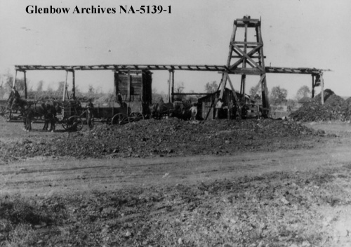
Following the Dingman No. 1 discovery, Black Diamond boomed, reaching a reported population of 800 by 1930. A local history tells of round-the-clock construction and single lots containing up to seven homes. Black Diamond became a village in 1929. It suffered during the Great Depression, loosing up to a quarter of its official population before rebounding in 1937 following a major oil discovery in 1936. Black Diamond was the largest population centre in the immediate area, reaching a population of 1,380 in 1947 before falling again through the late-1940s and 1950s. Regardless, in 1956, with a population of 991, Black Diamond was incorporated as a town.
To be continued … More Turner Valley oil and gas names to come!
Written by: Ron Kelland, Historic Places Research Officer and Geographical Names Program Coordinator.
Location
Turner Valley (valley)
National Topographic System Map Sheet: 82 J/09 – Turner Valley
Latitude/Longitude: 50°42’33”N / 114°18’11”W (approximate mid-point)
Alberta Township System: 23-20-3-W5 (approximate mid-point)
Description: Large valley with a northwest to southeast orientation, located approximately 40 kilometres southwest of downtown Calgary
Turner Valley (town)
National Topographic System Map Sheet: 82 J/09 – Turner Valley
Latitude/Longitude: 50°44’31”N / 114°16’49”W
Alberta Township System: 12-20-3-W5
Description: Near the southeastern edge of the valley, approximately 45 kilometres SSW of downtown Calgary
Black Diamond (town)
National Topographic System Map Sheet: 82 J/09 – Turner Valley
Latitude/Longitude: 50°41’17”N / 114°14’04”W
Alberta Township System: 8-20-2-W5
Description: Approximately 40 kilometres SSW of downtown Calgary and three kilometres northeast of Turner Valley (town)
Additional Resources
High River Pioneers’ and Old Timers’ Association. Leaves from the Medicine Tree. Lethbridge: The Lethbridge Herald, 1960. Accessed om July 21, 2014. http://www.ourfutureourpast.ca/loc_hist/toc.aspx?id=4123
In the Light of the Flares: History of Turner Valley Oilfields. Turner Valley: Sheep River Historical Society, 1979. Accessed on July 21, 2014. http://www.ourfutureourpast.ca/loc_hist/toc.aspx?id=7575
Our Foothills Calgary: Millarville, Kew, Priddis and Bragg Creek Historical Society, 1975. Accessed on July 21, 2014. http://www.ourfutureourpast.ca/loc_hist/toc.aspx?id=4134